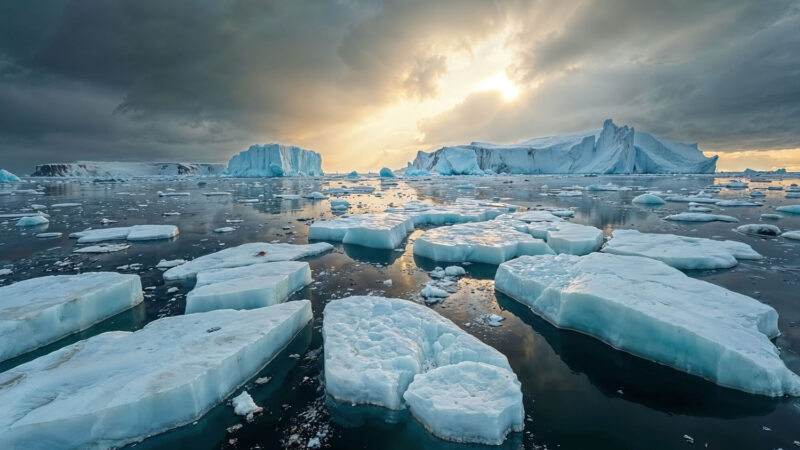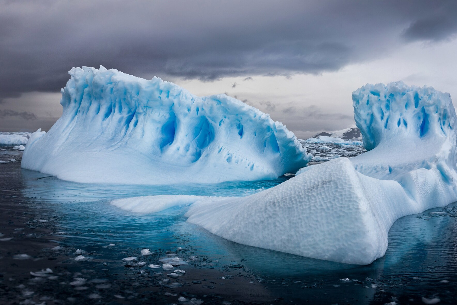
Antarctica has always inspired stories that blend science, exploration and imagination. From dramatic satellite images of pyramid-shaped peaks to sensational claims of ancient cities frozen beneath miles of ice, the continent invites bold questions: What lies under the ice? Are there man-made structures? And which of these ideas are plausible – and which belong to myth?
Below is a concise, evidence-based overview, covering what science has actually found, which theories remain credible, which have been debunked, and the major expeditions and datasets that shape our knowledge today.
What the evidence shows
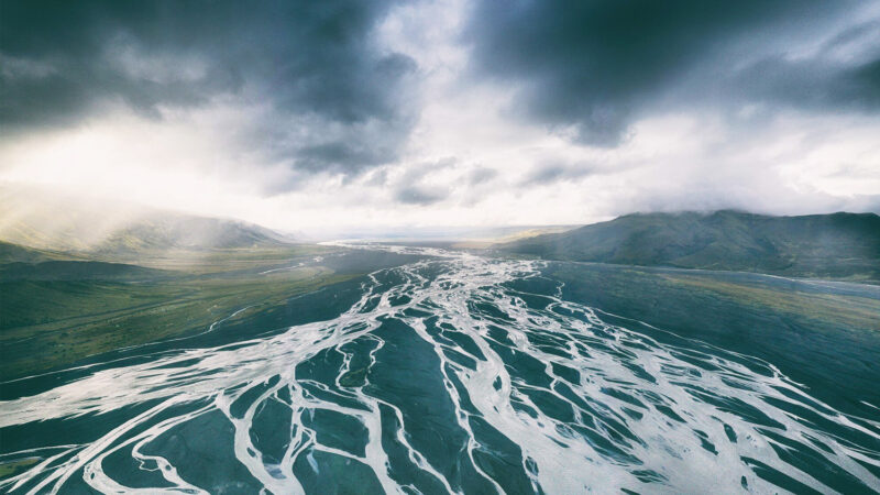
There is no credible scientific evidence of human-built pyramids, temples, or cities buried beneath the Antarctic ice. Features that look “pyramidal” in satellite photos are almost always natural mountains or nunataks shaped by geology and glacial erosion. What is real – and scientifically exciting – are vast, previously hidden landscapes: rugged bedrock topography, networks of subglacial lakes, ancient river valleys and sediments that preserve Earth’s deep climate history. These discoveries come from decades of radar, airborne and satellite surveys, plus targeted drilling projects.
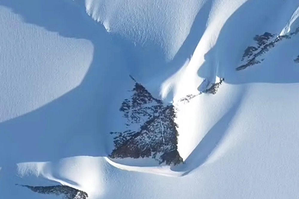
Why pyramid images are misleading
Many viral images and social-media claims point to a “pyramid” in Antarctica. Careful investigation shows these are natural peaks – often nunataks (mountain summits protruding through ice) or glacially carved horns and ridges. The shapes can look unnervingly regular from certain angles or in low-resolution satellite images, but high-resolution topography and field observations explain them as geological forms created by uplift, bedrock composition and long-term glacial erosion – not human architecture. Fact-checking organisations and geologists have repeatedly debunked claims of artificial pyramids.
The real „hidden“ Antarctica: bedrock, lakes and ancient landscapes
Modern geophysics has revealed an extraordinary world beneath the ice:
- Detailed bedrock maps. Projects such as BEDMAP and the newer Bedmap3 assemble radar, airborne and satellite measurements to map the bedrock under Antarctica’s ice sheet. These maps show deep canyons, mountain ranges, and basins – not grids of streets or ruins – and are essential to modelling ice behaviour and sea-level rise.
- Subglacial lakes and active hydrology. Scientists have identified hundreds of subglacial lakes and, recently, dozens more “active” lakes that periodically fill and drain. These water systems lubricate ice flow, influence glacier stability, and host unique microbial ecosystems that have been isolated for millions of years. Discoveries of new active lakes have immediate importance for climate models because they affect how fast ice can move toward the ocean.
- Ancient landscapes and sediments. Radar and seismic surveys have found buried river channels, coastal plains and “fossil” landscapes that were exposed before Antarctica became fully glaciated. These sediments and rock exposures are a treasure trove for reconstructing Earth’s past climates and ecosystems, but they are geological, not architectural, records.
Expeditons, surveys and scientific projects that matter
Here are the main, verifiable scientific activities that contribute to our knowledge – and that separate science from speculation:
- Bedmap / Bedmap2 / Bedmap3 (British Antarctic Survey and collaborators). Large-scale compilations of ice thickness, bed elevation and surface topography derived from decades of radar and satellite data. These datasets are the backbone for understanding what’s under the ice.
- NASA Operation IceBridge & ICESat missions. Airborne radar surveys and satellite laser altimetry (ICESat) have filled critical gaps in ice-thickness and elevation data and helped build high-resolution subsurface maps.
- Radar and seismic surveys. Repeated airborne and shipborne radar campaigns image internal ice structure and bedrock. These tools are how scientists “see” buried valleys, mountains and lakes without drilling.
- Lake Vostok drilling (Russia) and subglacial sampling efforts. Russian teams drilled to the surface of Lake Vostok and took steps to sample its ice. Such projects are controversial and scientifically challenging because of contamination risks, but they aim to study isolated microbial life and ancient water chemistry.
- Recent satellite discoveries of active subglacial lakes (ESA/CryoSat-2 and other teams). Ongoing remote sensing work (ESA, NASA and research groups) continues to reveal active hydrological features that have implications for ice dynamics and sea level.
Popular theories – evaluated
Below are the most common theories and how they hold up under scientific scrutiny.
- “There are ancient human cities/pyramids under the ice.”
Verdict: Extremely unlikely / no supporting evidence. Natural geomorphology explains the appearances; no archaeological evidence, artifacts, or credible field reports support human construction beneath Antarctic ice. Major mapping projects and field studies would likely have detected artifacts or anomalous geometry inconsistent with geology. - “Operation Highjump or other historical expeditions found secret bases.”
Verdict: Conspiracy / unverified. Operation Highjump (1946-47) was a large U.S. Navy expedition with scientific and strategic aims; claims that it uncovered secret Nazi bases or alien technology are based on speculation and misinterpretation of archival material and popular myths. Reputable historical and journalistic investigations do not substantiate these dramatic claims. - “Pyramids are natural nunataks or erosional remnants.”
Verdict: Consistent with evidence. Geologists explain pyramid-like shapes as natural peaks shaped by rock type, tectonics and glacial erosion, analogous to alpine horns like the Matterhorn. High-resolution topography and field observations support this explanation. - “There are significant scientific secrets beneath the ice (subglacial ecosystems, ancient climates).”
Verdict: True and exciting. This is the most scientifically productive line of inquiry. Subglacial lakes, buried sedimentary records and ancient landscapes preserved under ice are real, measurable, and important for understanding Earth’s history and future climate.
What could be “hidden”- and why it matters
Microbial life & unique ecosystems. Subglacial lakes and sediments could host life forms adapted to extreme isolation and cold; studying them advances microbiology and astrobiology (models for life under icy moons).
Paleoclimate archives. Buried soils and sediments can preserve records of pre-glacial vegetation and climate, improving models of how ice sheets started and grew.
Ice dynamics and sea-level projections. Discoveries about subglacial hydrology and bedrock topography directly influence predictions of ice-sheet stability and global sea-level rise – policy-relevant science.
How scientists pursue these questions (methods)
- Radar and airborne surveys to map ice thickness and bed shape.
- Satellite altimetry and gravimetry to detect mass changes and infer sub-ice features.
- Seismic imaging to probe deeper bedrock structure.
- Carefully controlled drilling and sampling (with stringent contamination protocols) to access subglacial lakes or sediment cores.
Bottom line – separating wonder from fact
Antarctica’s mysteries are real, but they are primarily geological and biological rather than archaeological or architectural. The truly profound discoveries are scientific: dynamic subglacial lakes, frozen ancient landscapes that preserve past climates, and life existing in extreme isolation. Claims of man-made pyramids or hidden civilizations are not supported by the best available data and are routinely debunked by researchers and fact-checkers. For those intrigued by the continent’s secrets, the most rewarding path is to follow the peer-reviewed science and the major mapping and drilling programs that continue to reveal Earth’s hidden past and inform its future.